


 Free
Video
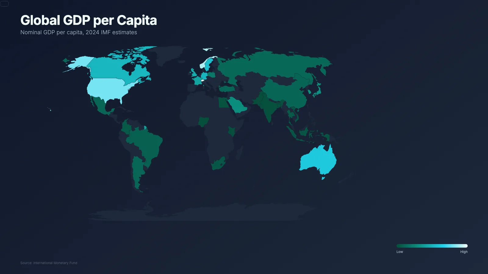
Animated World Map Colored by Country
- 518518 downloads
- 209209 likes
- 162162 saves
Works with
+ HyperFrames- Claude Code
- Codex
- Cursor
- and 3 more
Every premium and members-only resource for $9.99/month, as a no-commitment subscription. See the plans
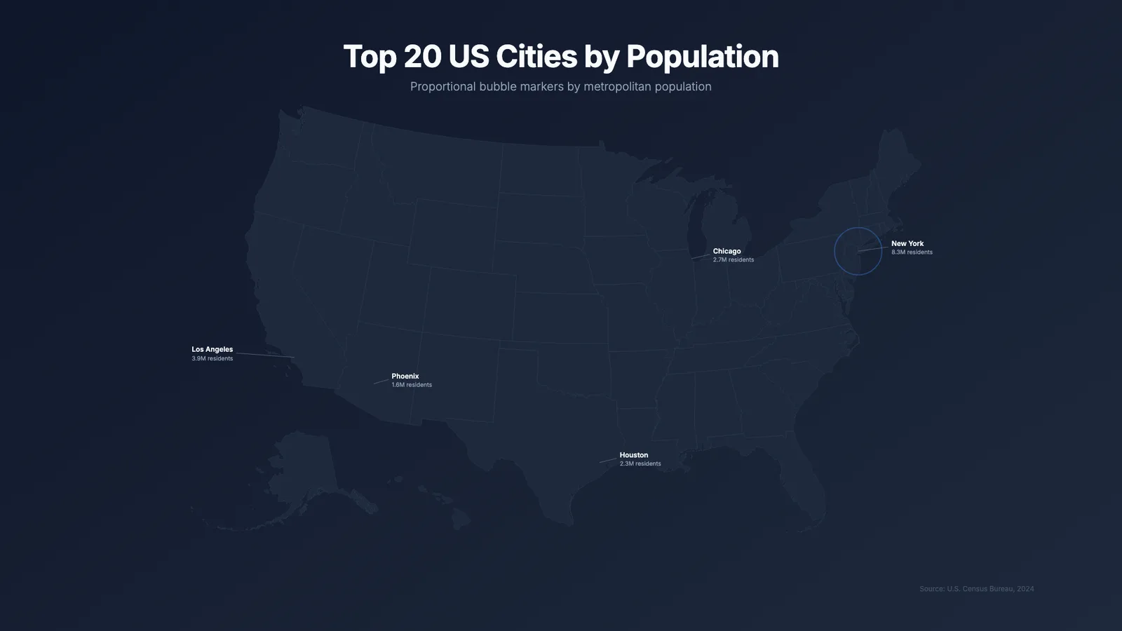
Use this resource to present per-city figures on an animated US map
New
$4.99
Lifetime access to this resource, with its updates.
In a terminal, from the folder you want:
npx --yes palatekit@latest install us-bubble-mapFirst time: connect the CLI with
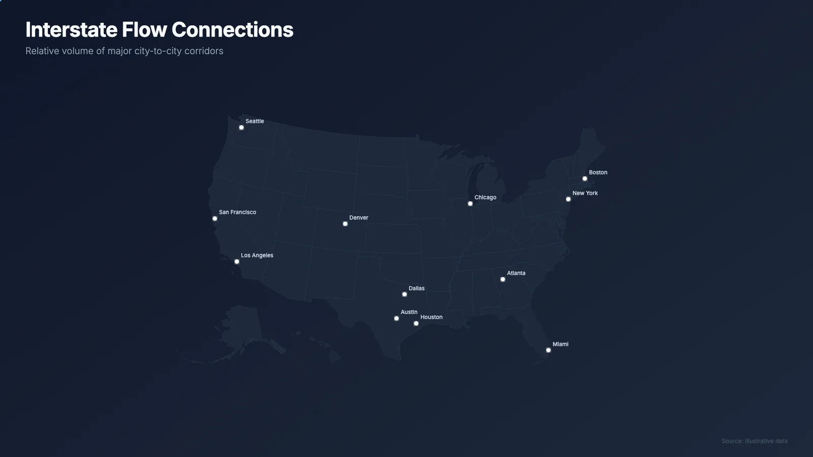
npx --yes palatekit@latest loginThe agent adapts the city list (name, latitude, longitude, value) and the value format. The 12-second video draws the states, grows each bubble by value and shows labels and connection lines. It can be combined with the us-flow-map block.
Mostly picked by
Updated November 2, 2026
FreeVideo
 PRO
Video
 PRO
Video
 PRO
Video
 Free
Video
 Free
Video
 PRO
Video
 PRO
Video
You say
"With the us-bubble-map block, show my sales by city: New York 120,000, Chicago 80,000, Austin 45,000."
Template published by HeyGen (HyperFrames) under the Apache-2.0 license.
Modified by PalateKit
Version modifiée de « US Bubble Map » (HeyGen (HyperFrames), Apache-2.0) : traduction française et fiche par PalateKit.
–
No ratings yet
Loading reviews…
Yes: the base map (us-atlas), D3, GSAP and the Inter font are loaded from public CDNs at render time.
Add an entry with its name, latitude, longitude and value, then adjust the radius scale if the value falls outside the planned range.