Every premium and members-only resource for $9.99/month, as a no-commitment subscription. See the plans

PalateKit

Menu

Request a resource

Describe the resource you are missing in one sentence. We will email you when it is published.

0 / 280

Unlock PalateKit

Unlock everything

Plan

Paying means accepting our terms of sale.

Secure payment by Stripe. Receipts and invoices sent by email.

Welcome back

Sign in to install, download or save this resource. A free account is enough for free resources.

Animated flow map between US cities v1.0.0

Use this resource to show flows from one city to another on a US map

New

  • 590 downloads
  • 239 likes
  • 232 saves

$4.99

Lifetime access to this resource, with its updates.

Install with the CLI

In a terminal, from the folder you want:

npx --yes palatekit@latest install us-flow-map

First time: connect the CLI with

npx --yes palatekit@latest login

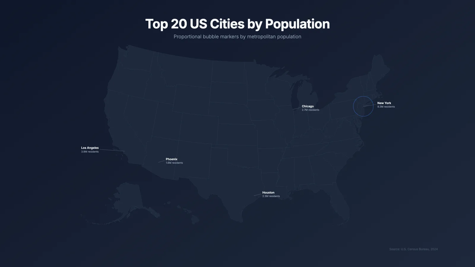
The agent replaces the list of cities and links (origin, destination, volume). The 12-second video draws the map, reveals the cities, then draws each arc, its width following the volume, with a dot travelling along it. It can be combined with the us-bubble-map block.

Updated November 2, 2026

Details

Generates with
HyperFrames
Uses
  • HyperFrames (npm: hyperframes)
  • Node.js
  • FFmpeg (MP4 rendering)
  • Internet connection (CDN)
Licence
Apache-2.0

Similar resources

View all

What you get

  • us-map-flow.html: the HyperFrames composition (1920×1080, 12 s) using D3 and GSAP
  • Twelve sample cities and twelve links to replace
  • A block description file (registry-item.json)
  • A preview video and image

Good fit for

  • Showing shipments, trips or exchanges between US cities
  • An activity report for a client
  • An explainer video on a logistics network

Not for

  • A map outside the United States
  • International flows
  • Offline rendering (libraries and base map come from a CDN)

Tags

  • map
  • flow
  • arcs
  • usa

About

You say

"With the us-flow-map block, show my shipments: San Francisco to New York (100), Chicago to Denver (65)."
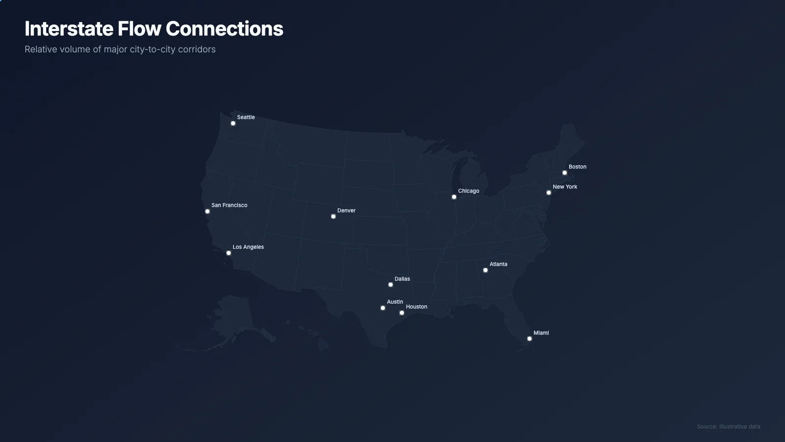
Map of the United States crossed by arcs linking cities, with dots travelling along them.

Template published by HeyGen (HyperFrames) under the Apache-2.0 license.

Show more

Prerequisites

You bring
Your city-to-city links with a volume and The takeaway the map should carry
Dependencies
HyperFrames (npm: hyperframes), Node.js, FFmpeg (MP4 rendering), and Internet connection (CDN)

How to use it

  1. Add the block to your HyperFrames project.
  2. Give your cities and links with their volume.
  3. Preview, then render the video.

Content preview

Files

  • LICENSE10.5 KB
  • NOTICE-PALATEKIT.md0.4 KB
  • README.md0.8 KB
  • registry-item.json0.8 KB
  • us-map-flow.html13.4 KB

Origin and licence

Modified by PalateKit

Author
HeyGen (HyperFrames)
Source
github.com/heygen-com/hyperframes/tree/2c3d1e07fe63d4a2d67d63a3e29d4ad73e291d8e/registry/blocks/us-map-flow
Licence
Apache-2.0

Notice

Version modifiée de « US Flow Map » (HeyGen (HyperFrames), Apache-2.0) : traduction française et fiche par PalateKit.

User reviews

–

No ratings yet

Loading reviews…

Delete your review?

Your rating and comment will be removed from the page.

Frequently asked questions

How is the arc width chosen?

It is proportional to the volume, between 1.5 and 4 pixels, with 100 as the reference maximum volume.

Can I add a city?

Yes: add its [longitude, latitude] coordinates to the city list, then a link that mentions it.